Forecasts are calling for significant snow in Colorado, followed by a “big cool-down.”
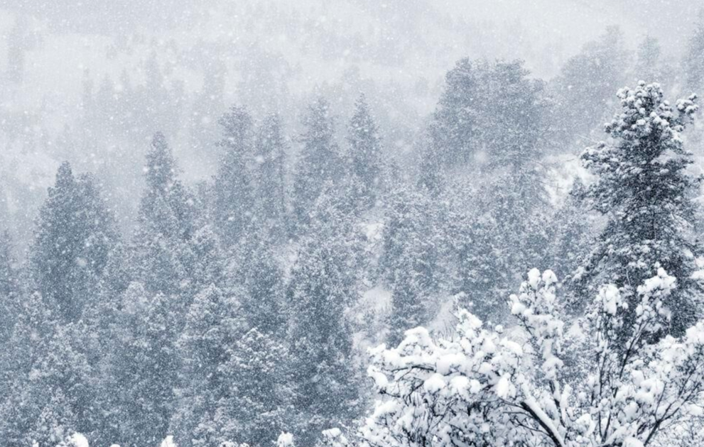
Widespread snow is expected to start falling throughout the mountainous region of the state on Wednesday, prompting multiple winter weather advisories that are likely to stay in effect until Thursday morning.
“Avoid travel in the mountains late Wednesday afternoon and evening,” an advisory warns.
While National Weather Service predictions top out at around 12 inches in areas getting hit with the most snow, one model shared by Joel Gratz of OpenSnow indicates that 24-hour snow totals could fall in the 20 to 25-inch range in some high-elevation areas west of Vail.
Details for the Wednesday-mid day Thursday winter storm across southern Colorado. Be prepared for hazardous travel conditions across the mountains, particularly along the Continental Divide where the heaviest accumulations of wind driven snow will fall. #cowx pic.twitter.com/S80obEFBgt
— NWS Pueblo (@NWSPueblo)
A major temperature swing is expected to follow the snowfall, thanks to a cold Canadian air mass moving into the region. Cold temperatures will be present on Thursday, with a slight uptick expected on Friday before another Saturday drop. Mountain town highs in the 40s will shift to highs in the teens during this period.
Some additional snow could fall between Thursday and Saturday and another wave could hit next Tuesday.
Here’s a breakdown of the total snowfall expected from Wednesday to Thursday, according to the National Weather Service:
Snow totals of 6 to 12 inches is possible in Elkhead and Park, Grand and Battlement Mesas, Gore, Elk, Sawatch, and Flat Top mountains. Nearby cities expecting to see impacts include Columbine, Hahns Peak, Toponas, Aspen, Vail, Snowmass, Crested Butte, Taylor Park, Marble, Buford, and Trappers Lake
Up to 8 inches of snow could fall in the northwest and southwest San Juan Mountains, impacting the mountain towns of Telluride, Ouray, Lake City, Silverton, Rico, and Hesperus.
Somewhere between 5 to 12 inches are expected in the mountains of Summit County, Rabbit Ears Pass, Rocky Mountain National Park and the Medicine Bow Range, the Mosquito Range, and the Indian Peaks.
Winter Weather Advisory issued for the northern and central mountains of Colorado, effective from 6 am Wednesday to 9 am Thursday. Heaviest snow is expected Wed aftn/eve when accompanied by strong winds – avoid hazardous mountain travel during that time. #COwx pic.twitter.com/Gd4JGno58P
— NWS Boulder (@NWSBoulder)
Be prepared for active traction and chain laws in place around the state and keep your trunk stocked with these winter safety essentials in case of an emergency.
Editor’s Note: All weather statements and snow accumulations are subject to change. Check the official Colorado Department of Transportation website for up-to-date information on road conditions and the National Weather Service for updates on incoming storms. For your mountain forecast, we recommend visiting OpenSnow. For daily avalanche conditions, always check with avalanche.state.co.us before heading into the backcountry.
This content was originally published here.