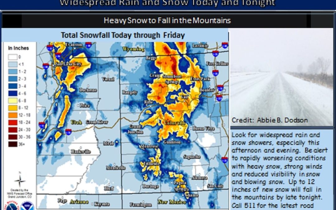
The National Weather Service issued a Winter Weather Advisory in effect for I-70 Westbound / Eastbound from Edwards to Empire Junction (Milemarker 160-232).
According to weather.gov, a cold front will pass through later today (Wednesday, February 3, 2021). The lower valleys can expect rain, snow, and possibly thunderstorms. Mountains in western Colorado can expect moderate snow. Northern and central mountains can expect six to twelve inches of snow, while the San Juans should anticipate four to eight inches.
An upper-level disturbance and associated cold front will move across the region today. Mild temperatures ahead of the system will bring rain or a rain/snow mix to the valleys before switching to snow later tonight. Instability across northeast Utah and northwest Colorado will lead to potential snow squalls impacting travel along HWY 40 and I-70. – weather.gov
What precisely is a snow squall? According to weather.gov, a snow squall is an intense short-lived burst of heavy snowfall that leads to a quick reduction in visibilities and is often accompanied by gusty winds.
If you’ve ever driven in whiteout conditions, you are fully aware of how much fun they can be.
Michiganautolaw.com says:
The effect is to leave drivers disoriented, without reference points, and vulnerable to being struck by other drivers who similarly can no longer see where they are going or what’s around them.
When driving in a squall, you’re pretty much a sitting duck. It’s hard to keep moving, but should you stop, you run the risk of being hit by approaching motorists unable to see you.
This cold front brings with it some of the harshest languages I’ve heard from the National Weather Service. The storm won’t last long, but it appears the conditions present serious dangers.
KEEP READING: Get answers to 51 of the most frequently asked weather questions…
See the Must-Drive Roads in Every State
This content was originally published here.
