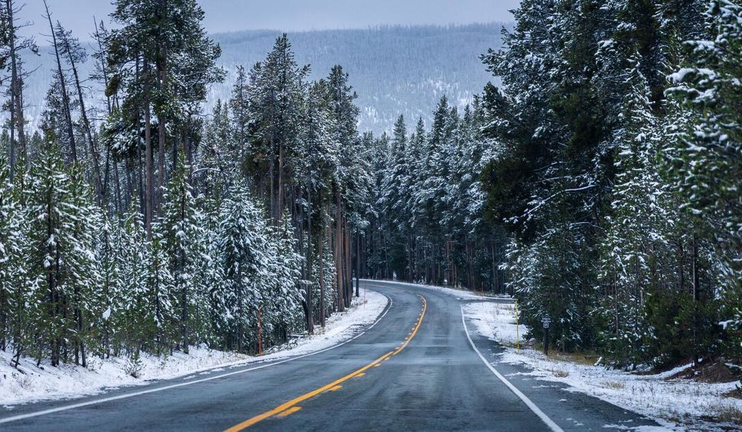
Spring is in full swing in Colorado and more powder is on the way. Multiple forecasters are calling for consistent waves of snow throughout the week, likely to result in double-digit accumulation totals in some parts of the state.
According to the National Weather Service, light snow and flurries are expected over the Front Range Mountains and foothills on Monday evening, becoming more widespread into the night. Just inch or two will be possible during this time, though additional snow is expected to develop in the Front Range mountains come Tuesday. Slushy, snow-covered roads are expected in the foothills by Tuesday night. This first wave of snow will likely be followed by light snow showers on Wednesday with a chance for the most significant snowfall of the week Thursday night into Friday in the area of the northern mountains.
According to Joel Gratz of OpenSnow.com, Eldora Mountain Resort and Rocky Mountain National Park are both expected to get about 20 inches of snow over the next five days. Two larger waves of snow are predicted to move through the state this week, on Tuesday night and on Thursday night, with each wave forecasted to drop three to six-plus inches of accumulation in the northern mountains and in the mountains east of the Continental Divide. More snow is also likely to hit this weekend (See full mapping and resort-specific predictions on OpenSnow.com).
According to Mountain-Forecast.com, Longs Peak could see close to 10 inches of snow on Tuesday night after a few inches during the day. Temperatures on the peak are expected to be in the single-digits, though wind chill will likely fall below zero.
All forecasts are subject to change. This is Colorado, after all.
This content was originally published here.