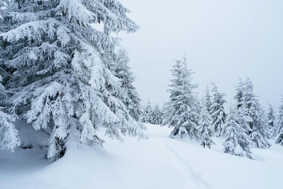
Colorado is gearing up for another spring snowstorm that could blanket parts of the mountains in up to a foot of fresh powder.
First, expect plenty of sunshine Friday and Saturday with temperatures hanging in the mid-70s to low 80s across the plains, 70s in the mountain valleys, and low 50s to high 60s ranging in the mountains.
Mostly sunny and warm today! #cowx pic.twitter.com/FJWizkqCBt
— NWS Boulder (@NWSBoulder)
Warmer and dry conditions are expected today. #cowx pic.twitter.com/mTpQx2mDnh
— NWS Pueblo (@NWSPueblo)
The spring storm is expected to roll into Colorado as early as Sunday afternoon, dropping temperatures, producing rain showers, and blanketing parts of the mountains with up to 12 inches of snow.
“The next storm will bring colder temperatures along with showers and thunderstorms by late Sunday afternoon, which will possibly continue through early Tuesday,” a hazardous weather outlook from the National Weather Service states. “Expect widespread precipitation Sunday night through Monday, with snow in the mountains and higher foothills and rain for the lower elevations.”
Joel Gratz of OpenSnow is calling for “multiple rounds of snow and lower-elevation rain” with the potential to bring 6 to 12 inches of snow to the northern and eastern mountains mainly above 8,000 feet between Sunday evening and Thursday morning. See his full report here.
Winter conditions are still present across higher elevations. Be prepared for the conditions by bringing traction devices and snowshoes with you. Weather conditions in the mountains can change rapidly. Remember to always check current conditions before heading out and be prepared for rapidly changing weather in the mountains.
Editor’s Note: All weather statements are subject to change. See resort specifics, a more detailed forecast, and forecasting maps on the OpenSnow website here.
This content was originally published here.
