Heavy snowfall in the Colorado mountains Thursday into Friday is increasing avalanche danger.
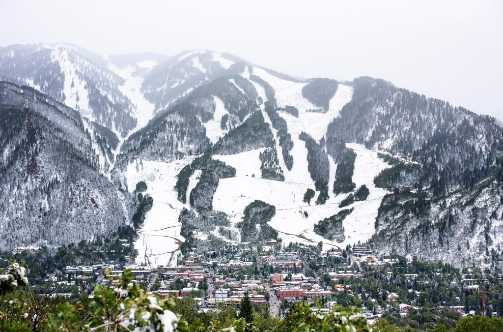
An avalanche warning was posted at 4 p.m. Thursday for mountain areas including Steamboat, Flat Tops, Aspen, Gunnison and the San Juans, according the Colorado Avalanche Information Center. The warning runs through 11:59 p.m. Friday.
“Heavy snow and strong winds will result in numerous natural avalanches on Thursday night,” the CAIC said. “Very dangerous avalanche conditions continue into Friday with human-triggered avalanches very likely.”
Avalanche Warning in effect for – Steamboat/Flat Tops, Aspen, Gunnison, North San Juan, South San Juan zones. Large avalanches expected to run naturally on Thursday night, and very dangerous avalanche conditions continue tomorrow. Travel in avalanche terrain is not recommended. pic.twitter.com/9R17mWoM38
— CAIC:Statewide Info (@COAvalancheInfo) December 10, 2021
Backcountry travel in avalanche terrain, including the runout of avalanche paths, is discouraged.
A winter storm warning is posted for much of the Western Slope from the Wyoming border to New Mexico border, including the central mountains west of the Continental Divide, according to the National Weather Service. Steamboat Springs, Vail, Aspen, Telluride and Durango are under the storm warning where heavy snow accumulation, up to 25 inches, is expected along with winds up to 50 mph. Rocky Mountain National Park and the Medicine Bow Range are within the warning, which expires at 5 p.m. Friday.
“Snow-covered roads will make travel hazardous,” the weather service said. “Travel may become very difficult to impossible due to heavy snowfall.” Chain and traction laws will be posted in the mountains and drivers should be prepared for winter conditions.
Light snow is expected on the Eastern Plains, along the Interstate 25 corridor and in the metro area on Friday, the weather service said.
This content was originally published here.