Colorado mountains report much-needed shot of snow from latest storm
See that white stuff clinging to the mountain peaks?
In nearly every year but this one, that snow shows up much sooner. But while the northern Front Range largely missed out on the latest snow, the storm did not disappoint for the mountains, dropping much-needed snow Thursday into Friday.
Fort Collins recorded a trace of snow while Denver’s snowless streak finally ended at 232 days and set a record for its latest first snow – DIA received 0.3 inches Friday.
Fort Collins has had only 0.7 inches of snow this season.
Before the latest snow, the Colorado Climate Center reported all the mountain SNOTEL stations in Colorado had below-average snowpack, with nine stations at record lows for early December. Thirteen are at their second-lowest totals.
Colorado snow totals
Totals are from Thursday through Saturday, as recorded by various sources:
Ski areas
Crested Butte: 18 inches
Steamboat: 11 inches
Gould (9 miles southeast): 20.4 inches
Cameron Pass (1 mile north-northwest): 10.8 inches
Longs Peak (4 miles north-northwest): 10.8 inches
Red Feather Lakes (7 miles northwest): 8.4 inches
Pingree Park (3 miles west-northwest): 3.6 inches
Fort Collins forecast
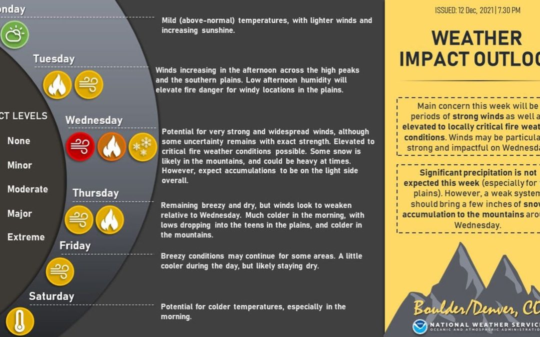
Tuesday: Partly sunny, with a high near 58 degrees with light wind and low around 28.
Wednesday: A 30% chance of rain and snow before 10 a.m., then a chance of snow between 10 a.m. and 11 a.m. Partly sunny, with a high near 47 and low around 19 with west-northwest wind 8 to 18 mph increasing to 26 to 36 mph and gusting to as high as 55 mph.
Thursday: Mostly sunny, with a high near 48 and low around 23.
Friday: Mostly sunny, with a high near 42 and low around 14.
Saturday: Sunny, with a high near 42 and low around 21.
Sunday: Mostly sunny, with a high near 48.
This content was originally published here.
