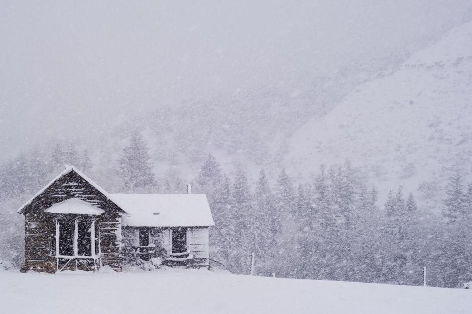
Winter is finally showing up in Colorado, with 20 inches of snow dropping in ski country and counting.
Following the recent snowfall, another big snowstorm is brewing in the northern mountains, with more than two feet of snow expected in upcoming days.
The National Weather Service issued a winter storm warning from Thursday to Saturday across the Park and Elkhead mountains impacting the areas of Columbine, Hahns Peak and Toponas.
Forecasters are warning that this next storm will hit hard in the northern mountain areas, bringing additional snow accumulations of 10 to 18 inches. Rabbit Ears Pass is likely to see some of the highest totals, while the Flat Tops could see anywhere between 5 to 10 inches.
Map Credit: The National Weather Service.
The snow could stack up even higher in some areas. According to Joel Gratz of OpenSnow, snow ranging from 20 to 25 inches could hit in the far northwest corner of the state.
“Travel could be very difficult to impossible,” advises the warning in effect from 5:00 PM Thursday afternoon to 5:00 AM Saturday morning.
Winds, blasting at speeds between 35 to 50 miles per hour, may also lead to reduced visibility. The falling and blowing snow could drop visibility to below a quarter of a mile at times.
Looking at 24-hour snowfall totals across ski country between Wednesday and Thursday, a storm dropped heaps of fresh powder with 20 inches landing at Snowmass, 15 inches at Winter Park, and 13 inches at both Breckenridge and Vail. See more snow totals here.
Editor’s Note: For the latest road conditions from around the state, please visit Cotrip.org.
This content was originally published here.